
Built for Serious Environmental Work

Wildnote isn’t just another data collection app—it’s a platform built specifically for environmental professionals. With exclusive tools and integrations, we take the complexity out of compliance, reporting, and collaboration so you can focus on the work that matters.
-
Photograph Logs and Pages
Administrative Forms including Per Diem and Time Sheets
A suite of standard archaeology forms
California DPR Site Forms
Nevada IMACS Site Forms
Utah Site Forms
Cultural Monitoring
UAV Operations
Safety
FCC 620/621
Excavation Level and Feature forms
Shovel Testing
-
Utilities
Remediation and Restoration
Superfund Sites
Water Resources
Renewable Energy Resource Compliance and Siting
Biological Surveyors/Monitoring
SWPPP Development & Compliance
Aviation Operations
Safety Management, Environmental, Health & Safety
Hazardous Waste/Materials
-
Complete regional plant lists make it easier to work across multiple states
Smart, searchable Munsell Soil Color Chart dropdown list
Photos for each vegetation section for easy QC back in the office
Mobile calculations and auto-fill for:
Indicator status
Dominant species
Dominance Test worksheet
Prevalence Index worksheet
Rapid Test
FAC-Neutral Test
Summary of Findings
Dynamic locations allow you to add sampling points on the fly
Eos Arrow, Trimble R1, Juniper Geode, and Bad Elf integration for submeter accuracy
Ready to Geek Out? Click to expand and explore all the powerful features Wildnote has to offer.
-
Automatic SHPO report generation for CA-DPR, NV-IMACS, UT-UASF, CRAM & NC DWQ
Automatically rename photos & export originals
Copy Your Project
Editable Grid
Form Library
Import previously collected data
Issue Tracker
Photo Gallery
Project Documents
Report Builder with Data Query
Species Export with species metadata
Taxonomy Framework
UTM Conversions
-
Project Locations
Pre-define, search, and report on distinct locations such as sampling points, bird nests, cultural sites and construction sites.Project-based Setup
Organize your workflow by project, including survey forms, team members, field data, photos and documents.Project Documents
Upload reference documents that field data collection crews may require offline.Historical Data by Project Location
Query your database for previously recorded data pertaining to a location.Scheduling
Email notifications to team members with project forms and details ensure projects run smoothly.Programs
Group projects together under a program for high level management of data. -
iOS & Android
Operates on the world’s most popular mobile devices.Offline Capable
Sync on your terms when you return to WiFi or strong cell service.Intuitive Form Builder
Start from scratch or select from a collection of environmental compliance forms in our library.Smart Search Picklists
Create your own picklists. Easily search long picklists using just a few key letters.Photo Capture
Take photos within the mobile app or select from your camera roll.Repeatable Fields
If you have recurring questions, the repeater feature allows you to collect a volume of data in a single digital form.Digital Signature
Capture a signature whenever required.Drop Geospatial Points, Lines and Polygons
Record a latitude/longitude coordinate with a single tap; refine point location by moving base map.ERSI Integration
See your ESRI web map and layers right within the Wildnote Mobile App.Prebuilt Taxonomy Lists
Integrate flora and fauna taxonomy lists into your survey forms. Smart searchable by scientific or common name, or symbol.Automatic SmartSync
Mobile data syncs automatically when connected to cellular data or WiFi.Quick Field Team Deployment
Simple interface with little training of field staff requiredSurvey Duplicate
Make a copy of a completed survey and edit only where needed. -
Access ESRI Web Maps in the Field
Log in with your ESRI credentials on the Wildnote mobile app to view ArcGIS web maps and layers. Understand existing resources on-site while capturing new field data directly through your Wildnote forms.Visualize Locations & Field Data On-the-Go
View pre-loaded locations, dropped points, and other geospatial data directly within the mobile app's interactive map view.Mark, Track & Map Your Field Progress
Drop pins, draw lines and polygons to track work in real-time.Export Your Spatial Intelligence
Export geospatial and related table data to geoJSON or KML for use in GIS platforms and stakeholder reporting. -
Taxonomy Lists
Select from USDA and USACE plant lists, invasive species, and wildlife lists (Latin and common names, scientific and symbols).Taxonomy Meta Data
Incorporate taxonomy meta data into exports, such as wetland indicator status by region, special species status listings, native/non-native status.Customized Taxonomy Lists
Use our taxonomy framework to create your own sub-lists.Taxonomy Favorites
Identify anticipated project taxonomy to create taxon name priority list for quick selection during field data collection.Species Export
Creates a report-ready table that contains all species in a project with associate metadata, including listing status, native/non-native, indicator status, and more. -
Search
Query projects using a variety of search criteria. Directly export results to PDF or Excel Pivot.Role-based Access Control
Assign access and permissions to specific team members project-by-project.Robust Photo Management
Manage photos more efficiently through the project photo gallery with photo renaming, Dropbox integration, and agency photo sheet exports. Integrated photo management dynamically links photos to data.Survey Status
Assign a workflow status to a survey and track data through its lifecycle. Flag surveys by status.Project Documents
Upload reference documents field data collection crews may require offline. -
Export Data Formats
PDF, Excel, KML, GDB, geoJSONSurvey Report
Compile all data collected, including photos and signatures, in a professionally designed PDF.Photo Sheet Report
Create report-ready photo sheets with either 2 or 4 photos per page.Customized Reports
Control branding, header details, selected photos, and questions to be included in reports.Agency Ready Reports
USACE Wetland Determination, CA DPR and other agency-ready exports.Narrative Report Builder
Query and summarize project data using a date range to inform narrative sections for agency reporting.SHPO Compliant Reporting
Export data to agency-specific, multi-page site formsCRM Photo Logs Including Indexing
Effortlessly export CRM-specific photo pages and logs -
ESRI ArcGIS Pro & ArcGIS Online
Integrate ESRI web maps and hosted layers into your Wildnote projects. Collect points, lines and polygons and export to geoJSON.Dropbox
Easily download project photos to your Dropbox account.Develop API
Integrate Wildnote data with your own data via our Developer API.GNSS Devices
Integrates seamlessly with Trimble, EOS Arrow, Juniper Geode, and Bad Elf for sub-meter GPS accuracy.

Need Environmental Compliance? We are the App for that!
Algal Bloom Tracking
Aquatic Invasive Species
Bat Survey
Bee Survey
Bio And Veg Assessments
Bio Monitoring
Biological Research
Botanical Surveys
Branchiopod Survey
Bull Kelp Survey
Burrowing Owl Survey
Butterfly Survey
CA DPR
California Red-Legged Frog Survey
California Tiger Salamander
CNDDB
Construction Monitoring/Compliance
CRAM
Cultural Excavation
Cultural Resource
Cultural Resource Management
Culturally Modified Tree Survey
Daily Monitoring
Decontamination Tracking
Demonstrate Successful Restoration
Desert Tortoise Survey
Determine Resources
Environmental Assessment
Environmental Research
Environmental Site Assessment
Equipment Inspection
Fairy Shrimps Survey
Field Inspections
Fire Management
Fish Radio Tagging
Fish Salvage
Fisheries
Floristic Inventory
Geese Survey
GIS
Groundwater Sampling
Habitat Banking
Herbicide Application
IHGM
Job Walks
Joshua Tree Surveys
Kit Fox Survey
Least Bell’s Vireo Survey
LEK Count Form
Micropurge Well Sampling
Migratory Bird Survey
Mitigation Banking
Monarch Survey
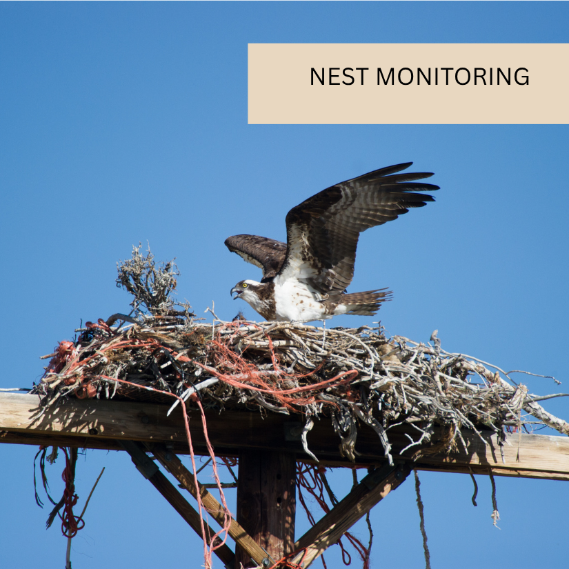
Nest Monitoring
Nevada IMACS
Ordinary High Water Mark
Paleontology
Pedestrian Survey
Phase 1 ESA
Pole Inspections
Post-Construction
Post-Construction Monitoring
Protocol Level Surveys
QA / QC Data
Raptor Survey
Restoration
Riparian Surveys
Sediment Monitoring
Sensitive Species
Sewer Sampling
Site Visit
Soil Monitoring
Solar Farm Survey
Spill
Stockpile Sampling
Stream Assessment
Stream Banking
Streamflow Duration (SDAM)
Success Criteria
SWPPP/Storm Water
Tailgate / Safety
Tank Inspections
Time Tracking
Track Corrective Actions To Completion
Tree Survey
UASF
USACE Wetland Determination
Use Data Collected For Permitting Process
Vegetation Monitoring
Vegetation Transect And Plot
Vehicle Inspections
Water Quality
Waterbody Assessment
WEAP Training
Well Monitoring
Western Spadefoot Survey
Wetland Delineations
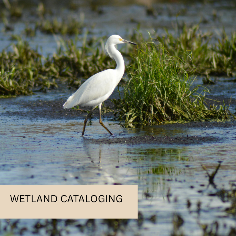
Wetlands
Wildlife Surveys
Willow Flycatcher Survey
Wind Farm Survey
Wood Duck Nest Survey