Easily integrate taxonomy lists into custom surveys. You asked for it, we delivered!
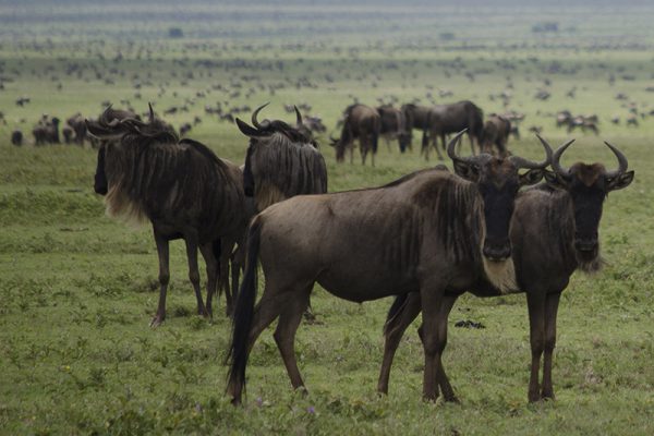
Wildnote is a unique species among digital data collection apps, now offering 15 distinct taxonomy lists for use with custom surveys. You won’t find this survey feature anywhere else! These new lists are rich with time-saving features that botanists and field biologists love. Our ongoing commitment to making your work more efficient, enjoyable and productive drives our continuing development of new features specifically designed for the work you do. Those of you working mitigation banks will find our new wetland plant list, indicator status, and wetland regions designations extremely useful for your work.
The following taxonomy lists plus the USDA plant lists for all 50 states are currently available in the Wildnote App under PROJECT ADMIN>SURVEYS for easy integration into any survey you design. In addition, users can send in their own taxonomy lists to be uploaded by us to use in custom surveys. Plants are displayed and searchable by Latin name, common name, and species code.
- California Plants
- California Wildlife
- Cal-IPC
- SLO County Plants
- Wetland Plant List- Alaska 2016
- Wetland Plant List- Arid West Region 2016
- Wetland Plant List- Atlantic And Gulf Coastal Plain 2016
- Wetland Plant List- Caribbean 2016
- Wetland Plant List- Eastern Mountains And Piedmont 2016
- Wetland Plant List- Great Plains 2016
- Wetland Plant List- Hawaii And Pacific Islands 2016
- Wetland Plant List- Midwest 2016
- Wetland Plant List- Northcentral And Northeast 2016
- Wetland Plant List- Western Mountains, Valleys And Coast 2016

When setting up your project, the PROJECT ADMIN>INFO tab now includes drop down menus for state and wetland regions so plants get associated with the right wetland region metadata and the right state native/non-native data upon export. The following meta data for plants is included:
- Species status – protected or endangered at the federal or state level
- Native or non-native, state-specific
- Wetland Indicator Status

Wildnote is designed to make your work easier. If you notice a mistake, or something missing, please submit the information to support@wildnoteapp.com so that we can keep these lists current and relevant.
Stay tuned for our next time saver currently in beta testing – a data collection survey designed to export directly into the Army Corps of Engineers’ Wetland Determination Data Form. “Click,” you’re done!